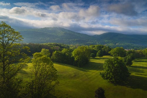
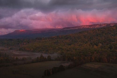
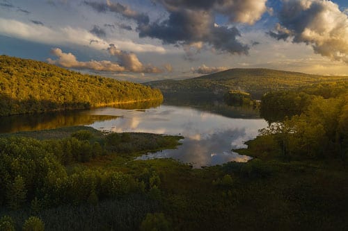
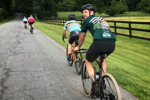
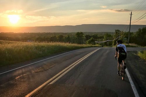
Ellenville provides a wide range of cycling opportunities, such as off-road mountain biking on purpose-built trails, rail trails, scenic road cycling on many of our quiet country back roads and, if you are into it, some of the most challenging climbs in the region!
Lippman Park
Located off Rt. 209 in Napanoch, Lippman Park offers some of the most exhilarating off-road mountain biking in the area. All trails have been ‘hand-built’ by volunteers from theRenegades Mountain Bike Club. Like ski slopes, the trails are color-coded to reflect their degree of difficulty, ranging from beginner level to intermediate and up to advanced, expert riders.
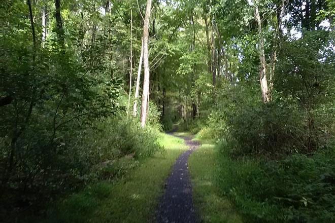
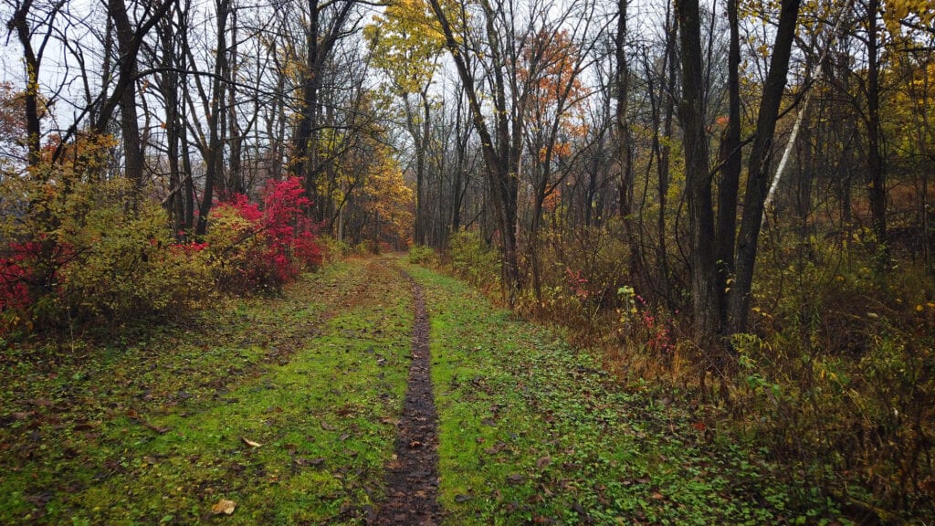
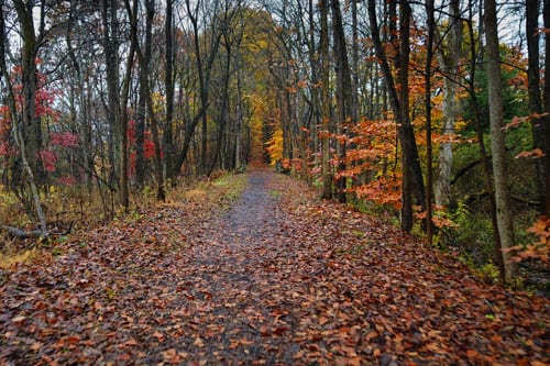
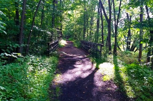
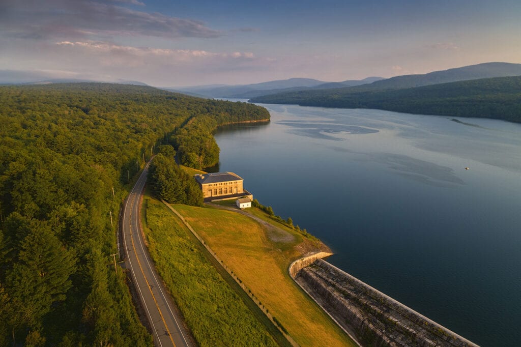
The O&W Rail Trail runs parallel to the village along the Rondout Creek. It is ideal for family-oriented cycling and/or hiking. Two sections run through the village, heading north towards Kerhonkson. From Kerhonkson, you can pick up the trail again to head up to Rochester Park in Accord. There is also a 2.5-mile section that heads south out of Ellenville down to Spring Glen. The rail-trail is also ideal during the winter months for cross-country skiing and snowshoeing. You can use the Ride With GPS route maps below for locations and for further information about the rides.
Unless you are on the O&W Rail Trail, there is no such thing as a flat route in our area! However, drawing on the knowledge of our local experienced riders, we have compiled several routes of varying distances and degrees of climbing.
All the routes have been created to avoid the more heavily trafficked roads in the area as much as possible. These routes offer exhilarating rides through our spectacular scenery and surrounding area. Please use the Ride With GPS route links below for the starting/end locations and for further information about the rides where needed.
You can also download cue-sheets and/or navigation-route files for your cycling device (e.g., Garmin, Wahoo, iPhone, etc.). On the RWGPS pages, you will also find Google Maps links to each of the ride starting points.