Ellenville is at the epicenter of some of the region’s most exhilarating and beautiful hiking. We are surrounded by spectacular State Parks, State Forests, Land Preserves, Local Parks, and the O&W Rail Trail, all of which offer a multitude of outdoor opportunities for experienced hikers and mountaineers as well as those just seeking more gentle family-oriented adventures in bucolic splendor. If you love nature and the outdoors and are a seeker of breathtaking views, Ellenville is the place for you!
BERME ROAD PARK
Located in Ellenville, Berme Road Park offers numerous activities and is also the trailhead entrance to Smiley Road. This rugged trail scythes its way up the west face of the Shawangunk Ridge to connect with the High Point Trail at Sam’s Point and the Witch’s Hole Trail.
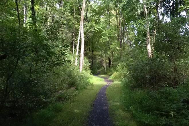
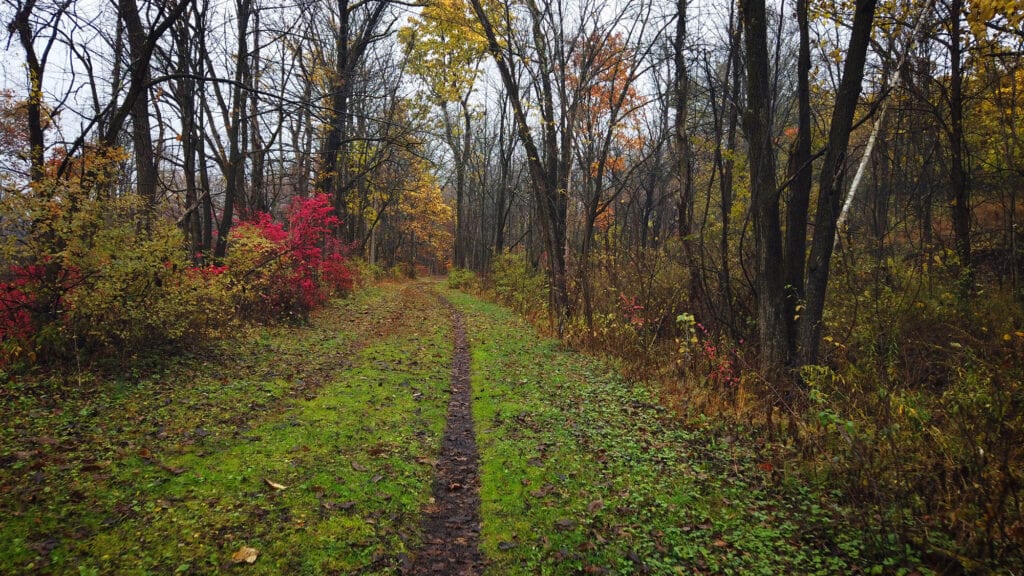
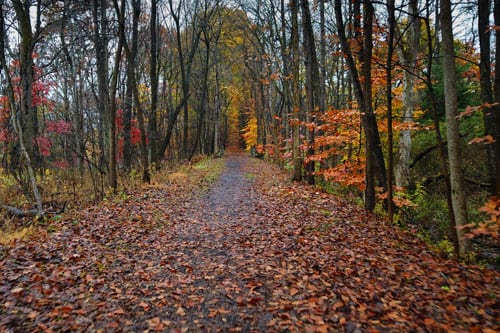
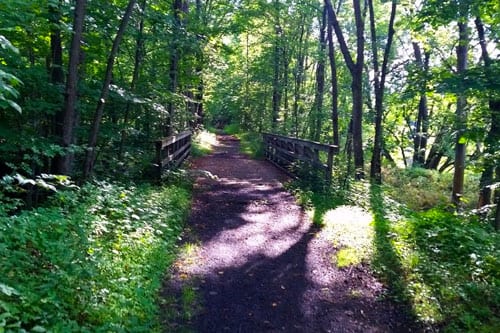
The O&W Rail Trail runs parallel to the village along the Rondout Creek. It is ideal for family-oriented hiking, biking, snowshoeing, and xc-skiing. Two sections run through the village, heading north towards Kerhonkson. From Kerhonkson, you can pick up the trail again to head up to Rochester Park in Accord. There is also a 2.5-mile section that heads south out of Ellenville down to Spring Glen. The rail trail is also ideal during the winter months for cross-country skiing and snowshoeing. You can use the Ride With GPS route maps below for locations and for further information about the rides.
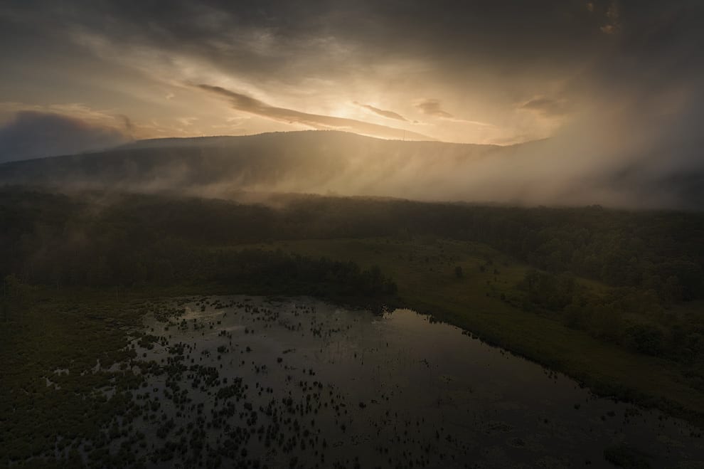
The Long Path traverses the spine of the Shawangunk Ridge and offers spectacular views of the Walker and Rondout Valleys. There are two trails just outside the village that give access to the path. For further information about the Long Path, click here.
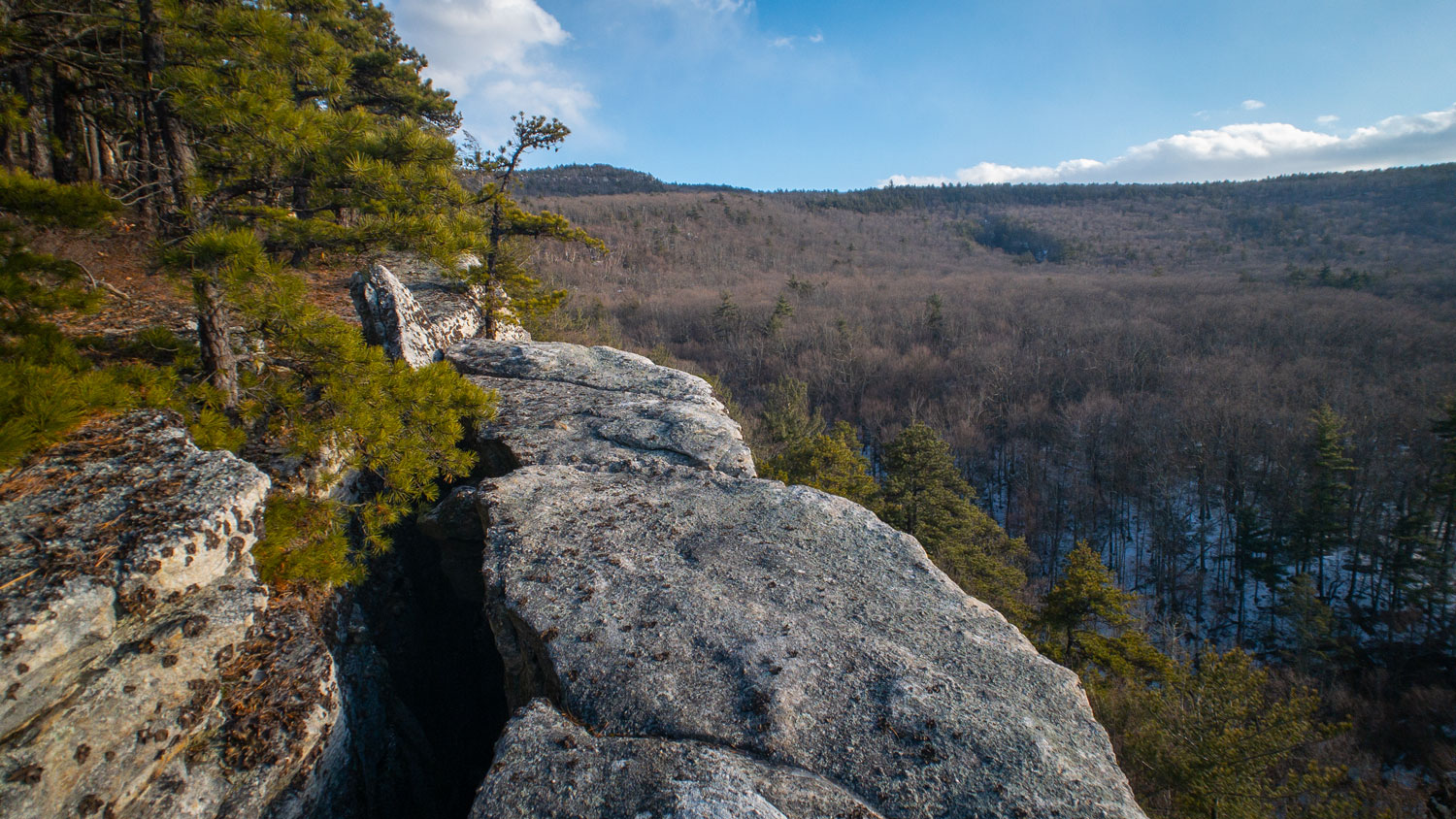
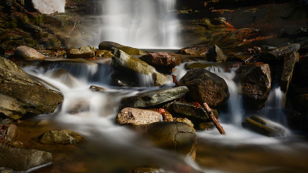
In 2015, the management and development of Sam’s Point was taken over by the Minnewaska State Park Preserve. Sam’s Point is Ellenville’s best-known and most-loved beauty spot, offering miles of wonderful hiking adventures, stunning views, and many great places to explore, such as The Ice Caves and Verdekeer Falls.
The Bear Hill Preserve is managed and maintained by the Cragsmoor Association. Short, easy trails lead to Bear Cliff, which offers breathtaking views of the Walker and Rondout Valleys. The outcroppings are strewn with big erratic boulders deposited there over 10,000 years ago by glacial activity in the area. Trailhead parking is limited on Delenbaugh Rd., and we request you respect the privacy of the residents who live along it.
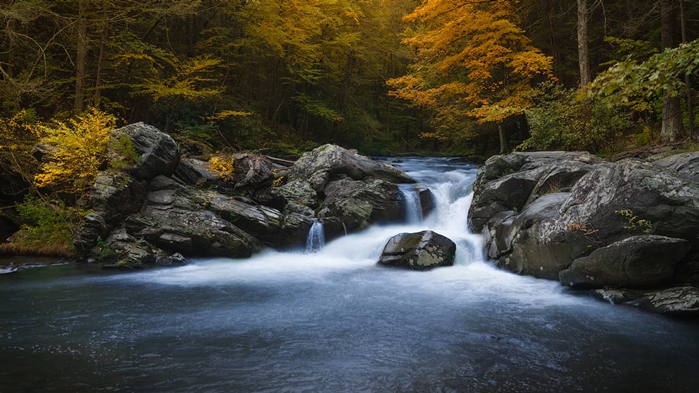
Minnewaska State Park Preserve is situated on the dramatic Shawangunk Mountain ridge, which rises more than 2,000 feet above sea level and is surrounded by rugged, rocky terrain. The park features numerous waterfalls, three crystalline sky lakes, dense hardwood forests, incising sheer cliffs and ledges opening to beautiful views, clear streams cut into valleys, 35 miles of carriage roads and 50 miles of footpaths on which to bike, walk, hike and simply enjoy. All this is within an hour and a half drive from New York City. Visitors can also enjoy hiking, biking, swimming, picnicking, scuba-diving, rock-climbing, bouldering, boating, and marveling at the incredible scenery. Horseback riding and cross-country ski trails are available as well. Technical rock climbing is also permitted.
Established in 1963, with over 8,000 acres of mountain cliffs, forests, fields, farmland, streams, ponds and marshland, Mohonk Preserve is New York’s largest nonprofit nature preserve. The Preserve’s mission is to protect the Shawangunk Mountains region by inspiring people to care for, enjoy and explore their natural world.
It doesn’t get more wild and rugged than Witch’s Hole State Forest which offers rugged hiking and spectacular views of the Shawangunk Ridge. Access to the Witch’s Hole trails can be found off the Smiley Road trail. Parking and access to Smiley Road are in Berme Road Park.
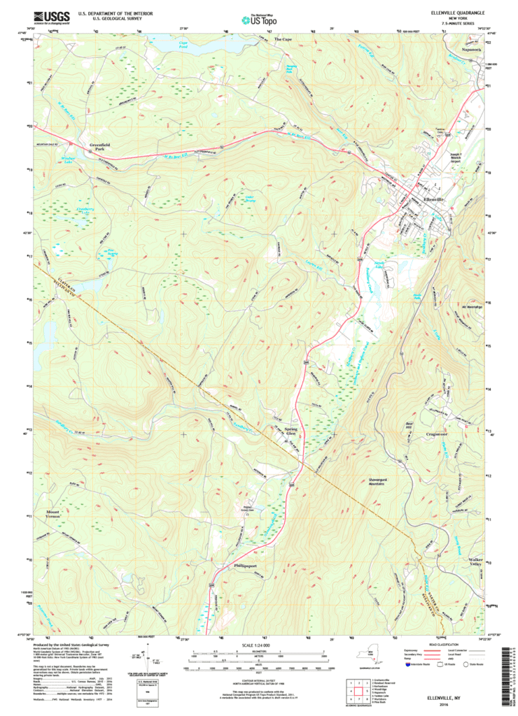
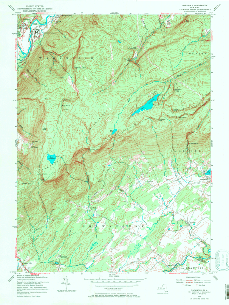
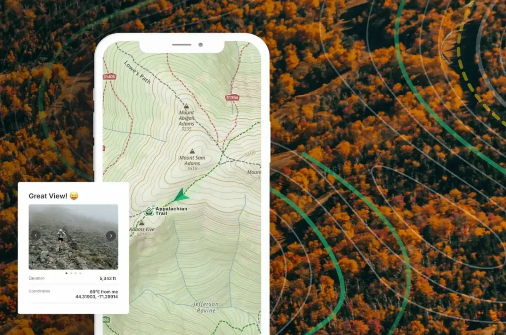
You can download topo maps of the Ellenville and Napanoch areas below. We also recommend you check out one of the leading hiking and way-finding apps, GAIA GPS.