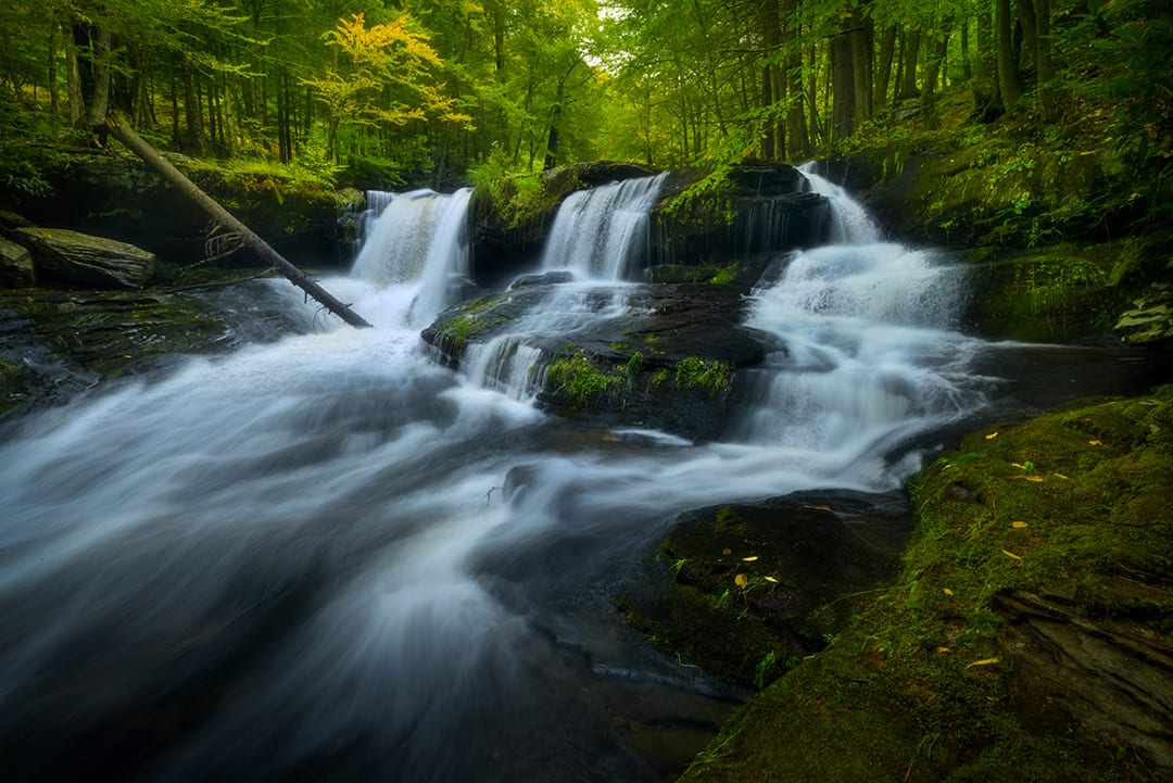
Our unique geographic location, nestled in the Rondout Valley, flanked to the east by the Shawangunk Ridge, and to the west by the lower Catskills, means we are surrounded by many rivers, streams, and brooks flowing down from them. Along their journeys, many of them possess some of the most spectacular waterfalls and cascades in the region, all of which are accessible to the public and located in our beautiful surrounding state lands, parks, and forests. Below are some of our ‘must see’ favorites.
FANTINE KILL FALLS
Located on the Fantine Kill, these falls and cascades are located up the back of the Fantinekill Cemetery in Napanoch. One enters the cemetery off Rt. 209 on a purpose-built roadway. Further up, this road becomes a dirt-road, which you need to follow up to a small wooden footbridge, where you can stop and park. Beyond the bridge is private property and we request you abide by the signs and not trespass. The falls and cascades are on the cemetery property and you are allowed to view and explore them.
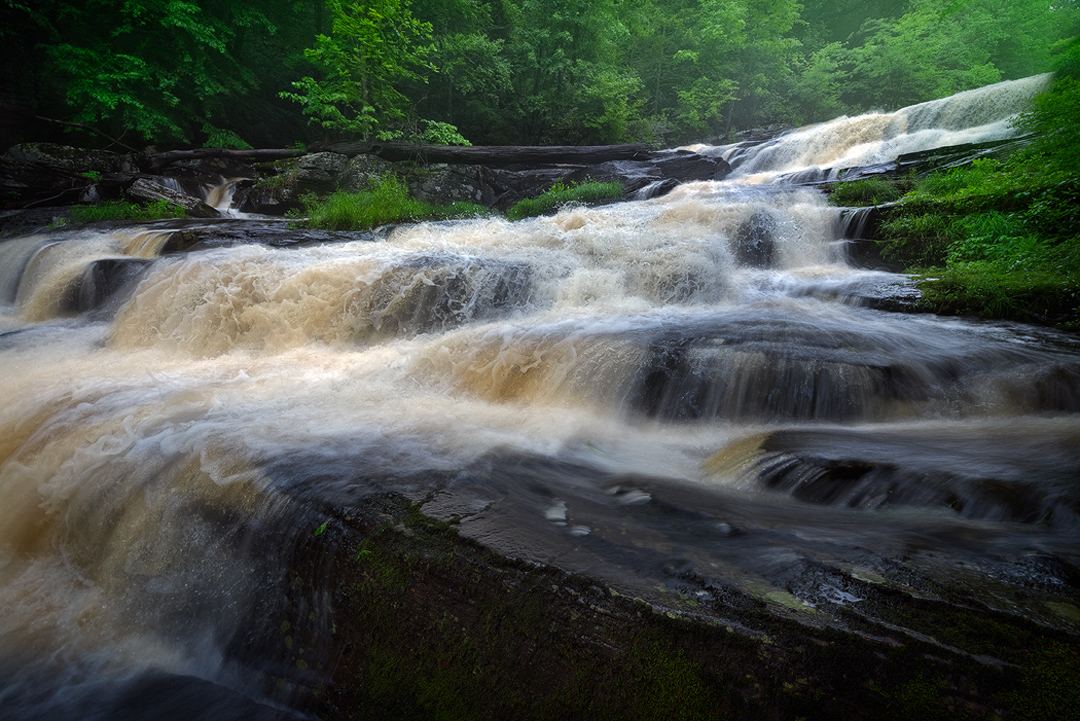
Located along the Beer Kill in Ulster Heights, Hanging Rock Falls and its cascades are amongst the most spectacular falls in the area. Parking is located at a pull-off on Ulster Heights Rd. Once on the trail, you descend down into the gorge, where you can follow the kill down from the upper cascades to the main falls.
Located off Rt. 209 in Napanoch, Lundy Road travels up along the Vernooy Kill and deep into the Vernooy Kill State Forest, which is well worth visiting and exploring. As thekillwinds its way down, it gives rise to a number of beautiful waterfalls and cascades. Primitive camping is allowed, as are hiking and hunting. Further information can be found on theDEC website.
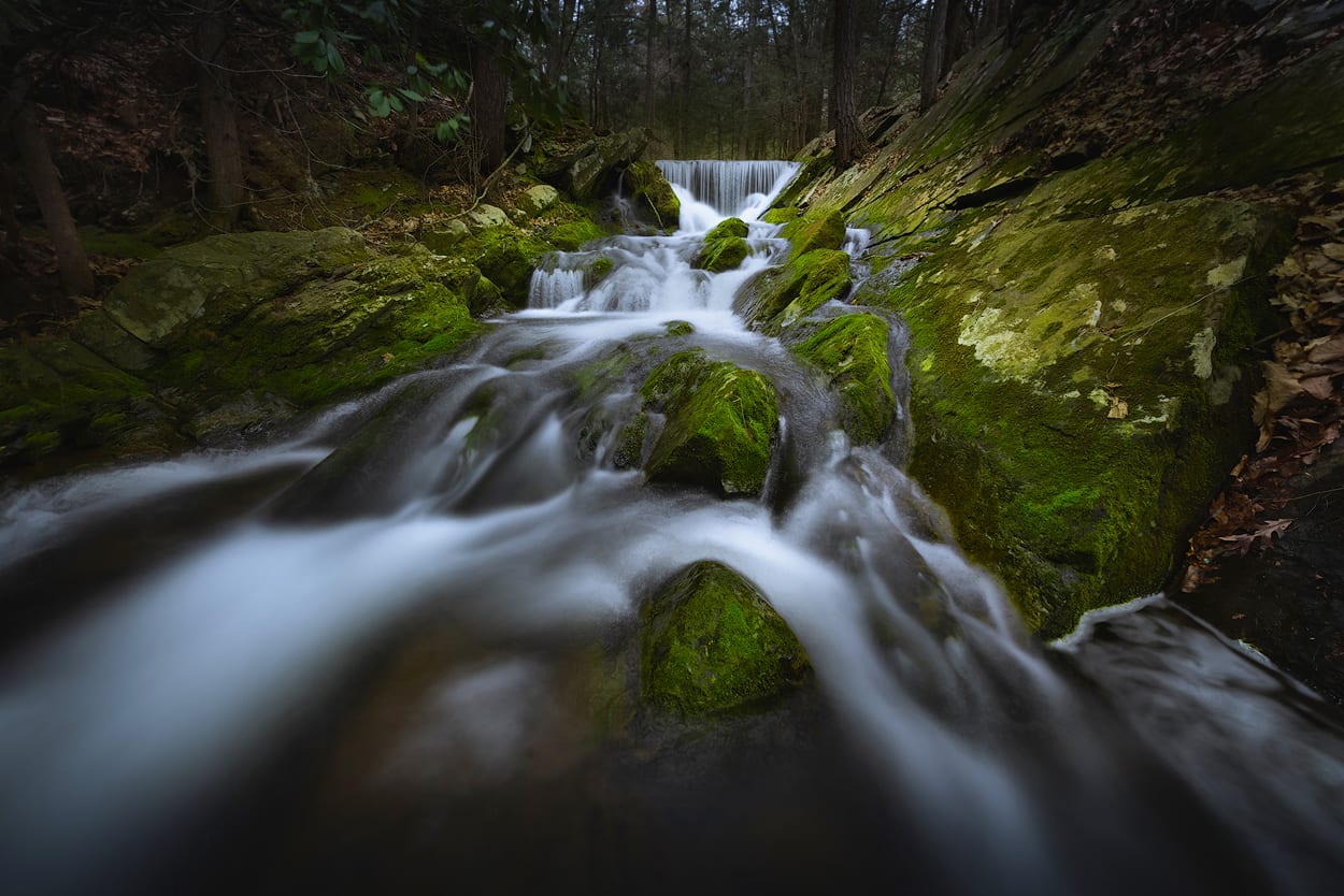
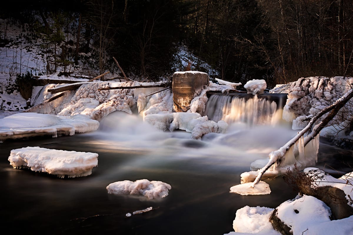
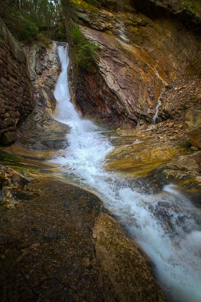
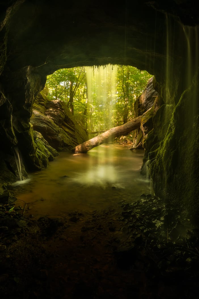
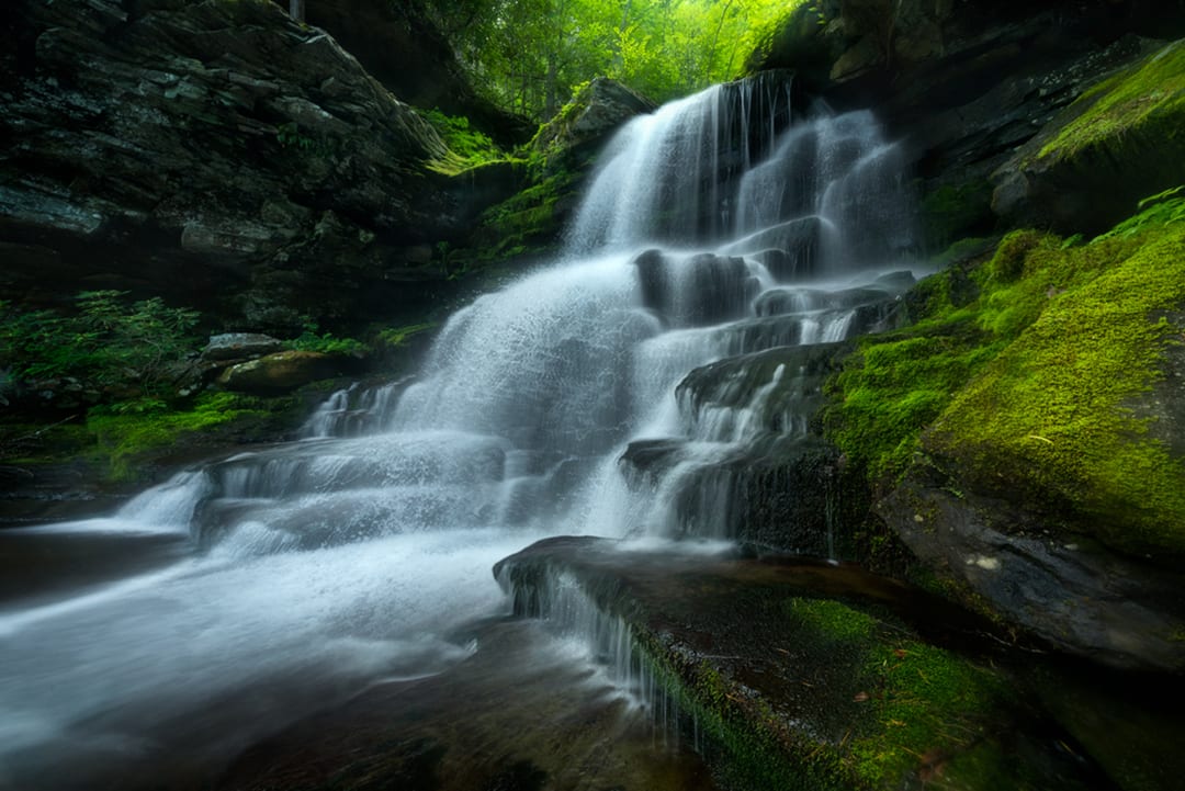
The North Gully Falls (A.K.A. Ellenville Buttermilk Falls) are set back on Rt. 52 when leaving the village heading east and when entering the village from the west. These spectacular falls flow down into the village through huge stone abutments which are remnants from when they where part of the local waterworks. Limited parking is available on Chapel Street. Alternatively, you can park at Berme Road Park and take a short walk up Rt. 52 to the entry point on Ice Caves Rd.At this point, you can also pick up a trail that climbs upwards above the falls to explore the gully upstream and beyond. Further upstream, you will encounter ‘The Grotto’, (A. K. A. The Giant’s Footprint), a beautiful unique iridescent rock formation that has been formed through natural erosion by the flowing water over many thousands of years.
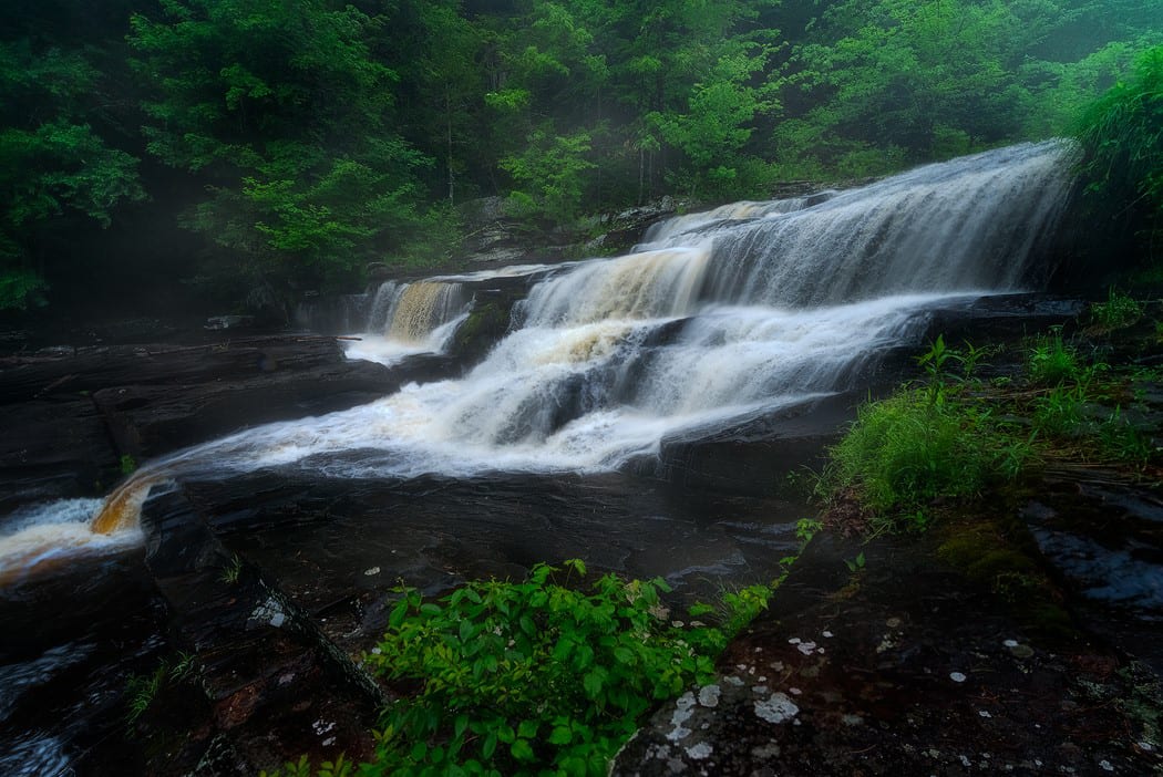
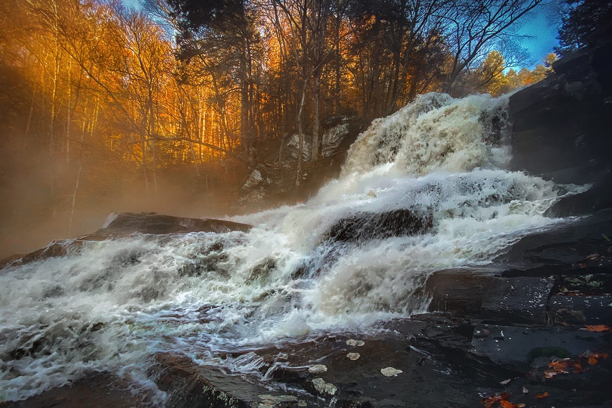
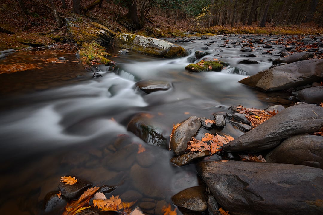
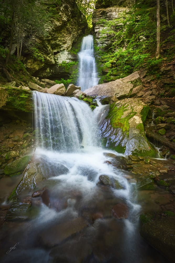
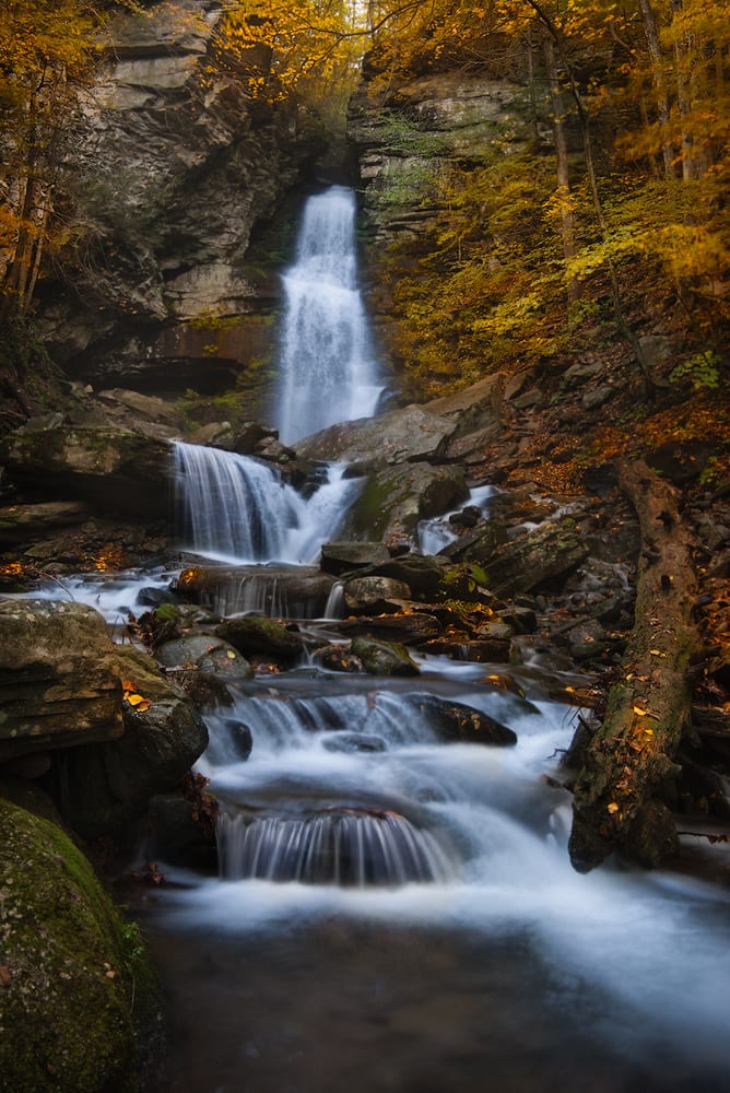
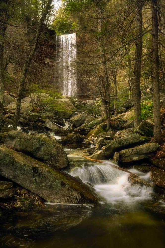
The Peekamoose area is located in the Sundown Wild Forest. A firm favorite amongst hikers and outdoor lovers, the area boasts many streams and brooks flowing down from the Catskill Mountains into the Rondout Creek. For instance, the Peekamoose Buttermilk Falls, one of the best known and most popular falls, can be seen below. The falls location is also close to the famous Peekamoose Blue Hole, a very popular and well known natural swimming hole. Please note, in 2019, the DEC has stipulated that free day passes are required when visiting the area from May 15 – October 15 every year. Further information on acquiring a pass can be found on theDEC Website.
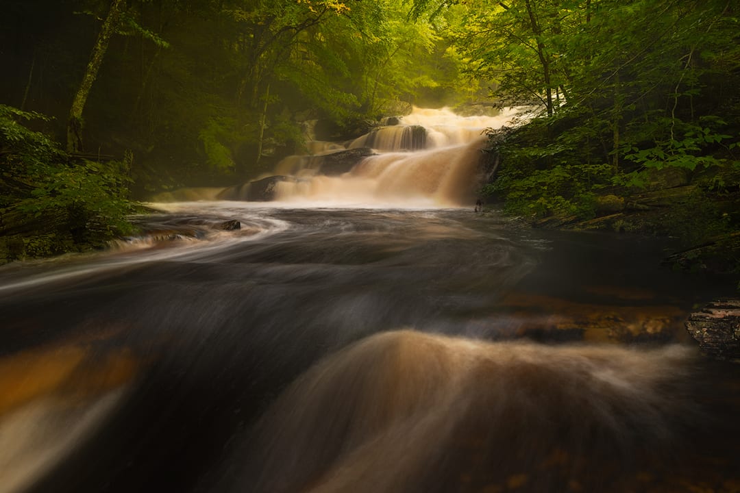
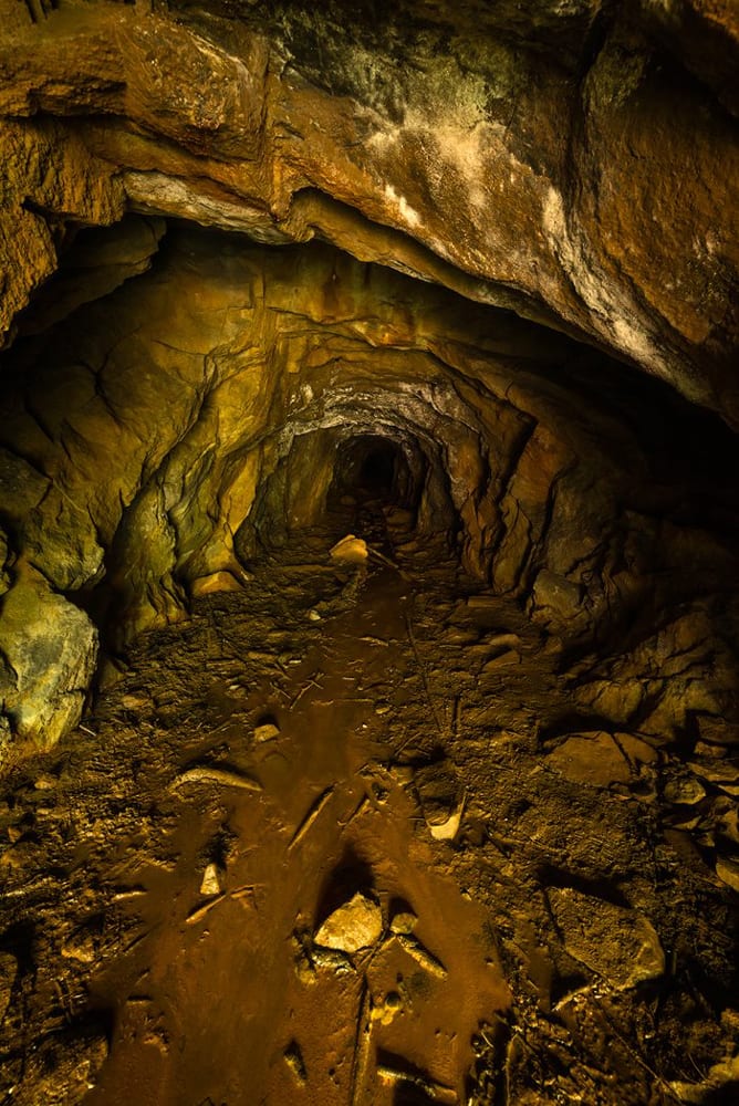
Located approximately five miles south of the village off Rt. 209, the Spring Glen Buttermilk Falls is a spectacular ‘flume’ waterfall. These are also known as The Horseshoe Mine Falls, because at the bottom of the falls, there is an entrance to an old lead mine that goes back about 500 feet into the mountain. When the water is not flowing too forcefully, it is possible to get into the mine to explore and also to see a view of the falls from ‘the inside out’. The falls are set back from the O&W Rail Trail and parking can be found along Lewis Rd.
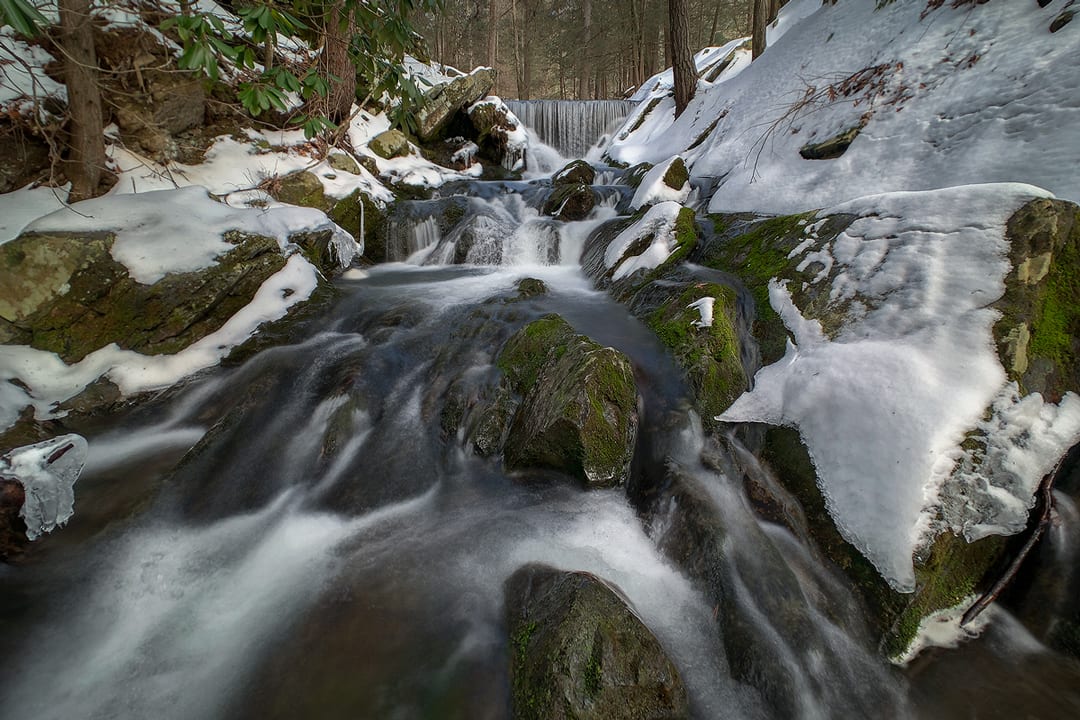
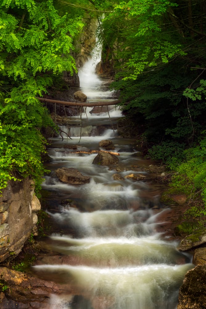
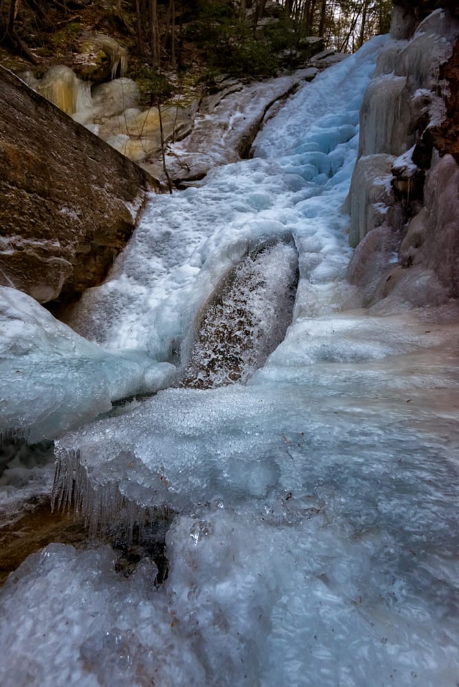
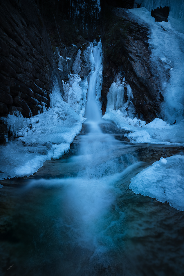
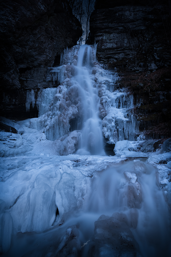
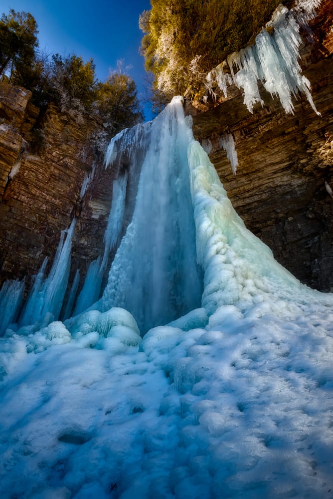
At 87 feet high, Stony Kill Falls is one of the tallest falls in the area. These spectacular falls are located just outside of Kerhonkson and are now part of the Minnewaska State Park Preserve. In 2016, Minnewaska State Park undertook a comprehensive renovation program to create new blazed hiking trails, footbridges to cross the kill and a viewing platform near the base of the falls. They also constructed a purpose-built stone staircase so visitors can get up to the top and continue exploring the kill further upstream beyond the falls. Open all year round, the falls are also spectacular during the winter months when massive clusters of icicles form around the rim of the gorge, but caution must be used when visiting at these times. During the winter, the stone staircase is closed for safety reasons.
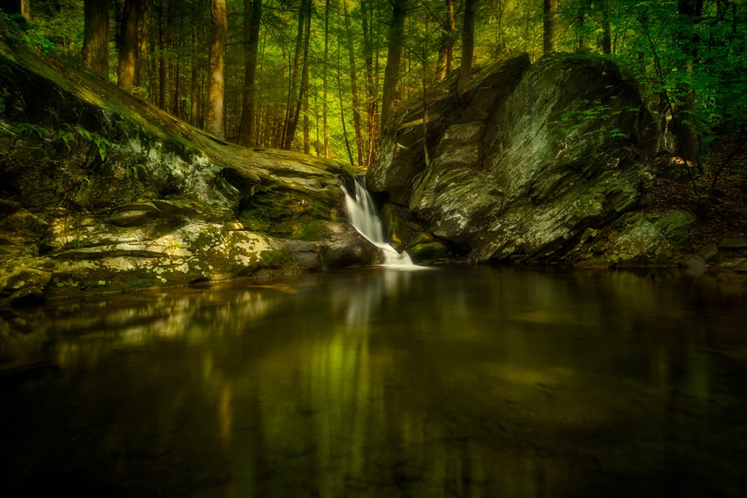
Located along the hamlets of Sholam and Yeagerville, Trout Creek winds its way down through a deep gully into the Rondout Reservoir. On its journey, it forms many spectacular waterfalls and cascades along the way, as well as a large natural swimming hole just below Sholam Falls close to the trailhead. Trailhead parking can be found on Sholam Rd. in two places either side of the creek. Trout Creek is on Department of Environmental Protection (DEP) Land and you will need DEP Access Permit in order to be on it. This permit is free. Click here to get one.
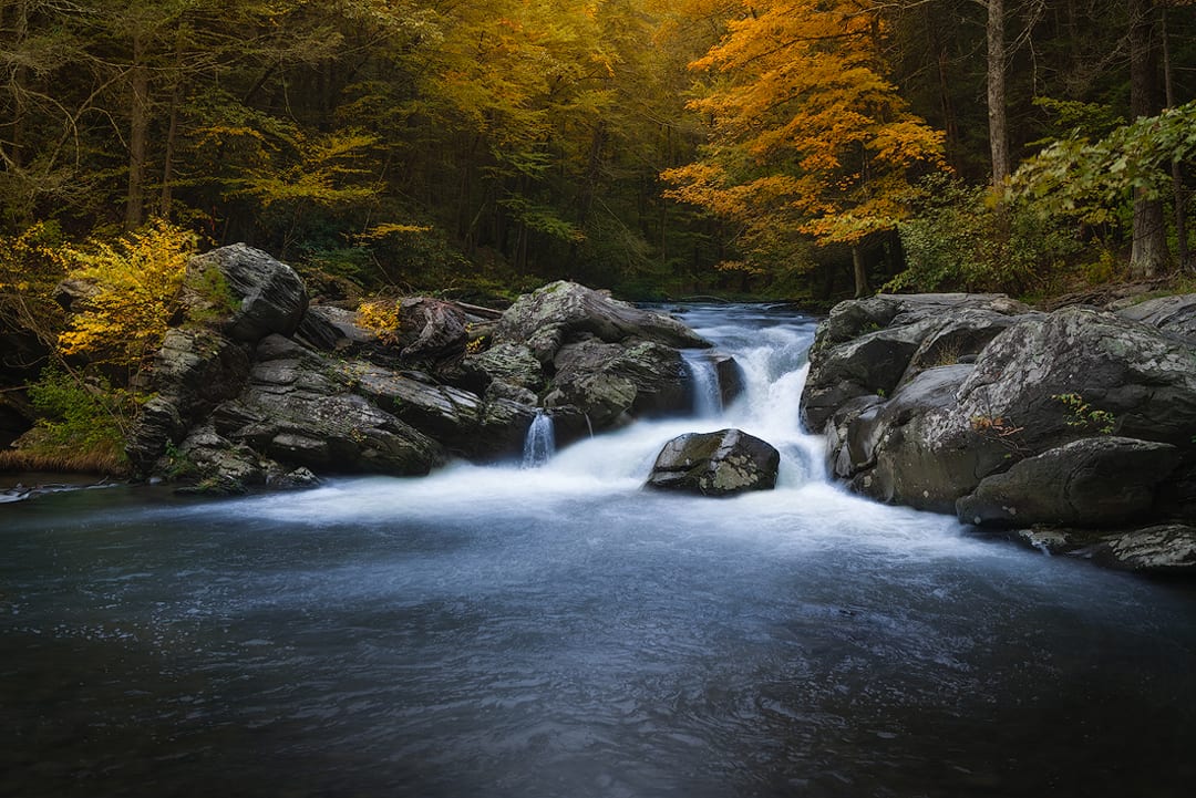
Split Rock lies on the Coxing Kill on the Mohonk Preserve. It is a much-loved and well-known natural waterfall in the area. You can park at the Coxing Trail Head and there is a $15 entry fee. Click here for more details. You may also want to consider becoming a member of Mohonk Preserve to take advantage of all the natural beauty it has to offer.


